EVO ROUTING
Intelligent Routing
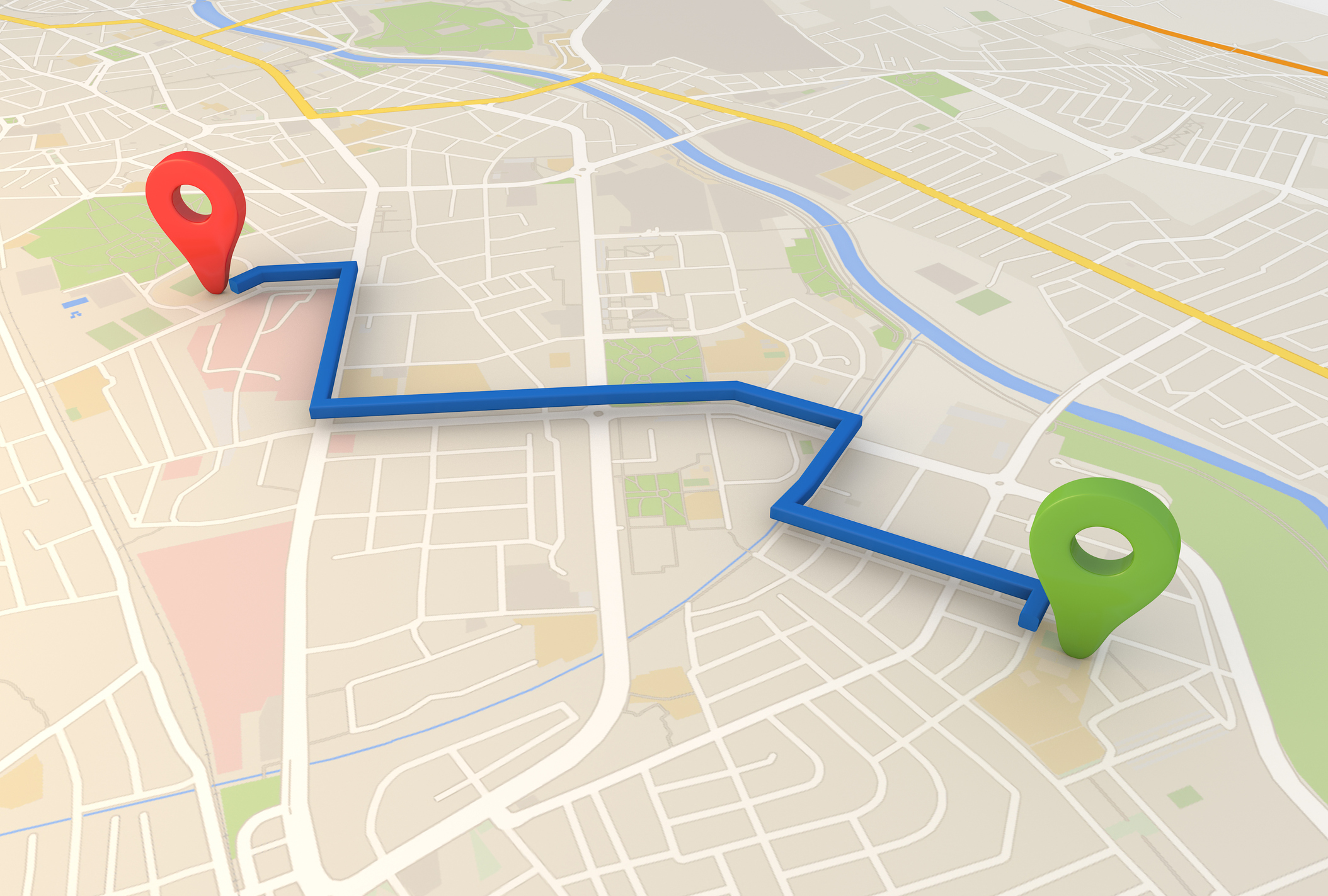
Locate. Deliver. Efficiently.
eVO Routing services
Whether it be the delivery of services or physical items, StatMap’s eVO Routing provides full and rich business routing services for a full range of organisations wishing to apply the power of routing analytics to their business problems and situations.
There are two levels of routing capabilities built into eVO Platform applications:
- Standard
- Premium
Network: as standard, eVO Routing utilises Ordnance Survey ITN or Highways network. If using the hosted eVO Routing services, there is no need to maintain OS ITN or Highways network data, as this is already provided for you.
If you wish to maintain your own OS ITN / Highways network, StatMap Courier (provided with all eVO Platform application products) provides the ability to load and maintain a nationwide routing network.
Fleet Management
Our Fleet Management software enables organisations to define and manage unlimited fleets of vehicles for a very wide range of business applications, including the following:
- Bin collection routing;
- Pick-up and Delivery routing – for combination of collection and delivery routing;
- Delivery only routing;
- Pick-up only routing.
Standard Routing
Standard Routing enables users to create and output route information for something as simple as a single origin-to-destination route, to more complex scenarios involving multiple stopping points on a route.
eVO Routing deals both with walking and driving routing scenarios.
Barriers can be added – using simple drag and drop visual icons – to the network to define elements of the highway network which are not navigable. Barriers can be added prior to calculating routes, or after the initial As these barriers are added, routes are automatically recalculated.
The capabilities offered by the Standard Routing capabilities provide for the following:
- Shortest and / or Fastest routes.
- Routing which is based upon Ordnance Survey ITN or Highways networks.
- Dynamic recalculation: as barriers, stopping points, or start / stop locations are either added or moved, the routing is recalculated dynamically.
Single Isochrones
Single isochrones can be generated for individual points of origin for either distance or travel time.
Isochrones can be saved as:
- Spatial records within a dataset;
- Annotation.
Individual discrete isochrones can be generated for travel intervals (distance or time) – e.g. 0 to 2km, 2 – 4km, 4 – 6km.
Premium Routing
Premium Routing provides you with the capabilities to:
- Create optimised routing for multiple routes
- Produce optimised sequencing of visits for personnel, for custom designed start and end locations (e.g. whether travelling from home, the office, or some other arbitrary location). Optimisation can be scheduled to provide itineraries for workers at the beginning of working days or the commencement of shifts.
These can be applied to any business or area of operation you wish. - Automatically sequence route-level workloads in optimal order that minimises driving or walking time
- Balance routes and working days based on total route time desired, number of personnel available, number of stops to make, or geographic constraints associated with workload territories.
- Model sophisticated routing business rules to suit particular specialist applications or operations
- Provide full, open standards based import and export support for getting data between Premium Routing and your business system
Multiple Isochrones
Users can create multiple travel isochrones simultaneously using a user defined distance or travel time from those sites or locations selected by the users. Features and uses include:
- Service Areas: create any travel zones you wish for multi-zone travel isochrones for one or more travel origin locations (i.e. multiple isochrones). For example: 5, 10, 15 minute travel times can be defined for one or more location (point of origin) across the network.
- Travel Modes: Driving (Time or Distance), Walking (Time or Distance), Cycling (Time or Distance).
eVO Premium Routing provides you with the ability to assess, via the Flows builder, multiple scenario options for planning resource deployments and designing service allocations.
These processes can be run as scheduled batch tasks.
Geofencing
As well as using simple ‘Barriers’ – as present in the Basic Routing services – users can use, as part of the routing service, polygons which represent zones which cannot be traversed by the Premium Routing Service.
‘Geofences’ can be any business dataset you wish – using polygon geometries – to apply to be included in the calculation to ensure that any routing avoids those ‘no go zones’.
Geofences can be incorporated into the scheduled routing process, meaning that if importing (e.g. on a nightly process using DataPump ETL) roadworks information from your highways asset management system, you can use these (having applied buffering to create polygons, if necessary, within the WorkFlow Builder) geometry objects to act as the Geofences which prevent those OS ITN / OS Highways network elements from being navigated by the scheduled (or ad-hoc) routing services / isochrones generation which is undertaken, so providing a more accurate depiction of the ability to get particular vehicles to particular locations within a defined period of time.
In terms of the Geofencing, Premium Routing can be configured to report upon instances where routes being navigated extend out of their designated areas of operation (e.g. sales areas / wards / parishes, etc.) In this way it is simple to gain full information upon where vehicles stray outside their intended area of operation, including: for how long and for what distance travelled.
Closest Facility (or making site selection)
This capability allows you to find or locate the closest Facilities or Units (in the case of a mobile unit, e.g. a police car(s)) to each reported incident event.
Closest Facility capabilities mean that you can:
- Solve for one or more locations using multiple travel origins (for more than one moving unit or fixed location).
- Analyse travel times at different times of the day, using data for average travel times which prevail at particular parts of the day (e.g. rush hour traffic).
- See how areas grow and contract based upon the travel conditions at that particular time.
- Generate routes and driving directions, from the facility or unit, to the incident itself.
- Use live traffic conditions services, limit search distances, limit the number of facilities or units to find (such as restricting the dispatching of the number of units to an incident from three to two).
Location Allocation
Choose best facilities based upon their potential interaction with demand points. In order to cover holes in service provision, we are able to identify, from a number of candidate site locations, what the best candidate sites are for siting new facilities, taking into account the criteria which we wish to minimise (e.g. travel time) or maximise (e.g. coverage), including capacity constraints.
As another example, it may be necessary to allocate residents to General Practitioner (GP) surgeries. Users can be allocated based upon chosen parameters, such as travel distance or travel time. It can also impose constraints upon the amount or number of patients who can be allocated to a particular GP surgery.
There are five problem types - and based upon those problem types, you see the parameters associated with that the chosen problem type. These parameters can then be passed in those parameters to solve the particular location allocation problem.
The useris also able to:
- Choose from many different analysis types.
- Limit the capacity of facilities.
- Analyse for different times of the day.
Other features include the ability to:
- Get Travel Boundary allows you to obtain polygons corresponding to isochrones or isodistance calculation.
- Get Bounding Box – Returns data in the form of a bounding box made up of two points.